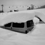
Category Archives: General

Electric vehicles and solar panels; they aren’t really that green anyway?

Fake News and Myth buster

The first thing to understand is that all transport has an environmental cost. However some forms of transport have a higher cost to the environment than others.

There is a lot of mis-information going around on social media at the moment, trying to claim that electric cars are not a “green” form of transport. Remember what they are up against. Oil companies and the car lobby, both huge and neither play fair. The reason the oil companies hate EV’s is obvious. You might wonder why the car manufactures have an issue though, it’s because in the short-term they can’t make any money from them. They’ll change their tune in time when they have re-tooled for the job. It is starting, but has taken years. The lead has been taken by Tesla, Nissan/Renault and to a smaller extent BMW, that is it though. And between the last 3 they only really have 3 models available to buy!

It is true that a new EV has a higher cost to the environment that a new IC vehicle (so a vehicle with an Internal Combustion engine). This remains the case if the vehicle is not used. But as each vehicle is used the environmental cost of the EV quickly catches up with the IC car. That’s because the IC is continually adding CO2 into the environment. The initial cost to the environment for an EV is mostly in the manufacturing of the battery.

Recycling

The same goes for making the photovoltaic panels (PV’s), that has an environmental impact, however over their life they pay back the environment many times over. They are due to last 30 years, perhaps more. Then what happens to them? Well they are mostly glass, and like glass can be recycled. The same goes for the batteries. They can either be re purposed, so used in a house, or recycled. I’d be very keen to buy some old EV batteries to add to my house, if only I could get them at a good price.

Here is a great infographic that explains about recycling PV’s. It’s from these guys.

https://www.greenmatch.co.uk/blog/2017/10/the-opportunities-of-solar-panel-recycling

Recycling: A Solar Panels Life after Death [infographic]

If everyone had an electric car the grid would not cope / we’d have to build 20 new nuclear power stations.

This is another one that I see a lot. It is mainly based on erroneous calculations. Generally assuming that everyone will use their EV to full capacity every day and then they’ll all plug in at the same time. If that did happen then there would indeed be a problem. However.

  1. It will take a very long time for people to covert to EV’s, currently only 3% of new cars sold are pure EV’s.
  2. On average we don’t drive very far each day, something like 30 km for each car each day. We don’t all plug in at the same time either.
  3. The way we use electricity is changing fast, our biggest issue in the future is going to be storing the power we generate during the day from PV’s and wind. The EV battery could be the answer to this. It is early days but a combination of EV’s being used to store power and discharge it to others at peak times could be a real revolution.

This last argument is being put about by the big energy firms. However, they have a history of trying to kill new technology to protect their position. Salter’s duck is an example.

https://en.wikipedia.org/wiki/Salter%27s_duck

http://www.checktheevidence.com/Disclosure/Web%20Pages/The%20untimely%20death%20of%20Salter’s%20Duck.htm

Some more resources on the subject.

http://theconversation.com/which-transport-is-the-fairest-of-them-all-24806

https://www.theguardian.com/football/ng-interactive/2017/dec/25/how-green-are-electric-cars

https://phys.org/news/2018-05-electric-vehicles-billions-energy-storage.html

https://www.bloomberg.com/news/features/2018-06-27/where-3-million-electric-vehicle-batteries-will-go-when-they-retire

Golf in the Haute Savoie

The Haute Savoie is known for its lakes and mountains, though rarely for it’s golfing opportunities. Despite this there are a number of excellent golf courses available in the area. We have reviewed them here.

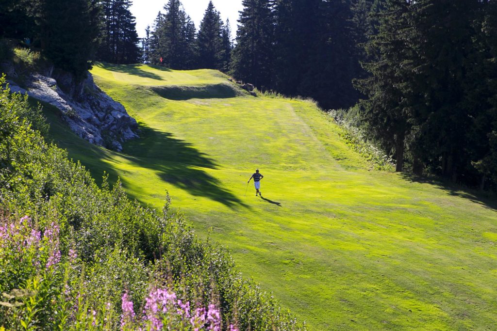
Chamonix : an interesting and very playable golf course set in stunning scenery. A short season, open from the end of June until mid September. Not that posh in comparison to some of the others. Really nice restaurant and friendly staff. 56€ to 91€

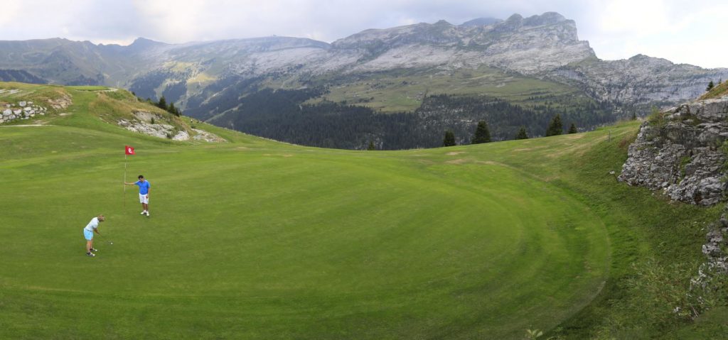
Golf in Flaine, courtesy of Flaine OT

Megève : definitely posh but less interesting as a golf course, thanks to its altitude (1320m) the greens are often in poor condition. 40€ to 75€
Annecy : two courses around the lake : Talloires : expensive in high season, a short but hilly mountain-type course kept in excellent condition, especially the greens (which are notoriously small). Giez : longer and more playable “parkland” course, worth a visit, friendly atmosphere and decent pro-shop (a rarity). €59 to €75

Evian Masters : open February to November, a splendid championship course with fantastic practice facilities. Best time to play is just after they’ve had the Ladies Masters in September. €55 to €105

Esery (near Bonneville along the M40 motorway) : really nice and fairly challenging parkland course, super fast and very big greens, superb club house, shop and restaurant. Absolutely worth a try.

Golf in Flaine, courtesy of Flaine OT

Divonne : (just about in France, and technically not in the Haute Savoie either! 30min north of Geneva), open all year, rumour suggests it might be better than Evian. 50€ to 100€

Bossey :(at the foot of the Saleve, near the cablecar), mostly open all year very challenging course, Jean Van de Velde is a regular! Only available to non members during the week.

Aix Les Bains: (in the Savoie, 30 minutes from Annecy), old parkland course with character and in good condition. Playable throughout the year.

The following are not really comparable to the others, but then they don’t pretend to be, they are often half the price. Thanks to their altitude they have short seasons (sometime in June until sometime in September)

Flaine : At an altitude of 1900m, 42€

Les Gets : 1400m of altitude, a personal favourite, very hilly and fairly difficult too, take some snacks and plenty of balls. The TripAdvisor reviews tell all. 33€

Avoriaz : 1700m altitude, the only 9 hole course here. 25€-30€ for 9 holes, 40€-50€ to go round twice!

Supporting the Patrouille des Glaciers

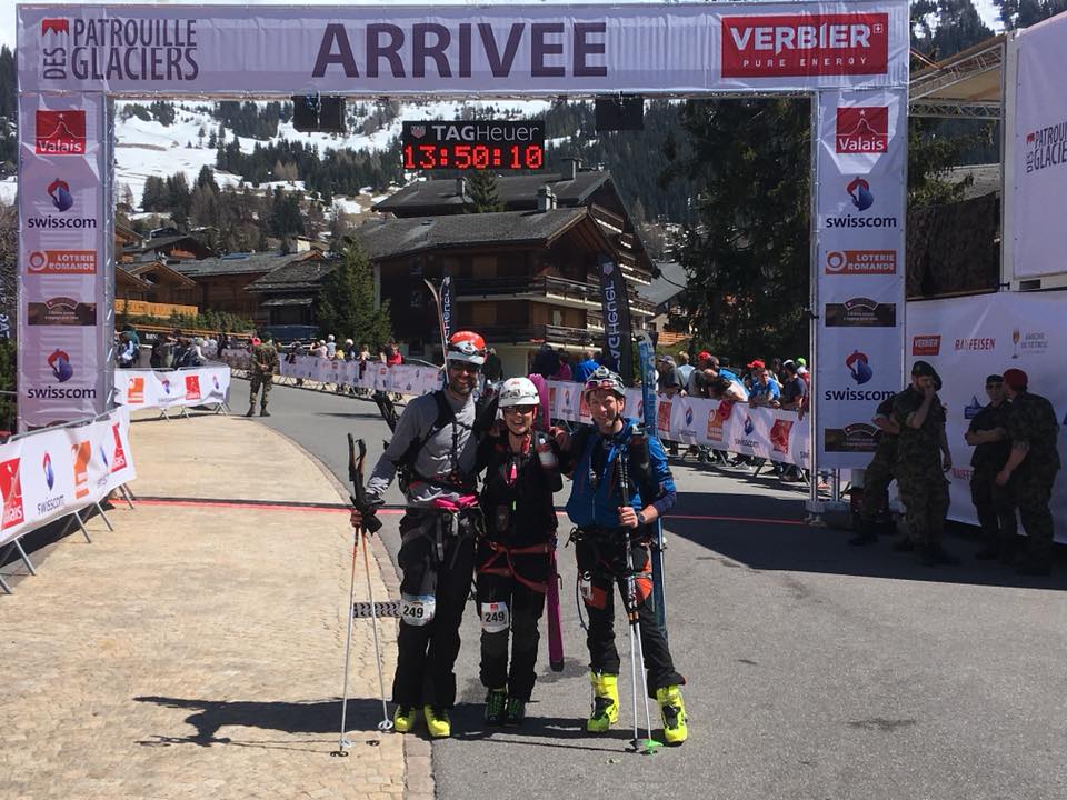
The Patrouille des Glaciers is a gruelling ski mountaineering race between Zermatt and Verbier. Teams of 3 compete to traverse 53km and climb 4000m, it’s a tough race that some claim to be the hardest team event in the world. It’s huge in Switzerland and gets a lot of coverage. The fastest time is just under 6hrs, but this is superhuman, most teams are happy to finish within the 16hrs cut off. The event I supported saw half the teams fail. Due to its popularity the PDG is now held twice in the same week. Nowadays there are always a few British teams that compete, the most famous of which included Pippa Middelton in 2016.  This meant the race was featured in all the major newspapers in the UK. The best article was written by one of the team for the Telegraph, though if you want to see Pippa from every angle the Daily Mail is the place to go.  But for a less showbiz write-up and probably the best pictures then have a look at Ben Tibbetts blog.


Supporting the Patrouille des Glaciers

This article is not about the race itself. I’ve written it to help anyone that wants to offer support for a team at the halfway point in Arolla. The organisers do provide water, Coke, tea and chocolate apparently there are some oranges towards the end so support is not strictly necessary. But many people appreciate something a bit more personal and also the possibility to sort out any equipment issues (forgotten suncream?). I had received conflicting reports about how easy it was to access Arolla on the night of the race. The local tourist office had said I could not. However others thought that I could, so I set the satnav and aimed to arrive at 1am. This would mean I could grab a few hours kip in the car and be ready by the piste at 5am.

Driving up from Sion on ever narrowing roads that night I immediately felt the presence of the race. I had managed to get myself sandwiched in a convoy of Swiss Military logistics trucks!  After you pass Evolene the road is very rough, narrow and precipitous, there are even some sections of single-track tunnels. Thankfully these were rendered safer by military personnel stationed at either end. If the weather is good there will be little to worry about. Otherwise don’t forget that Arolla is at 2000m altitude. If any snow is forecast make sure you and your vehicle are properly equipped! On arriving at Arolla much of the town will be occupied by military vehicles and logistics equipment. The Swiss military must treat this event as one of their major logistical exercises. Thousands of them are involved. Near Arolla they had set up a helipad, refuelling facilities and even a field hospital.

Despite this civilian supporters are welcomed. They had provided parking, toilets and had plenty of people on hand to advise. Once the parking is full then the sides of the road are used.  I parked about 15min walk from the checkpoint, and walked the full distance a couple of times but also used the military transport vehicles that were shuttling up and down the road.


Arolla checkpoint

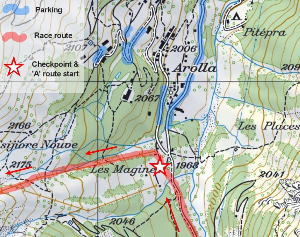
The Arolla checkpoint is 28km into the course, the competitors will have climbed 2000m. In theory it is almost halfway, in practice the second half of the race will be harder thanks to the effect of the sun and fatigue. There is mandatory time cut off at 06h30 here and as you can imagine there will be no negotiating with the organisers! The competitors choose when to start the race the night before, so anytime from 22h to 02h in the morning. You should be able to do a basic calculation to estimate what time your team(s) will arrive. There is also the PDG App available on Google and Itunes, this will give you real time data for the location of each team. There is a good phone signal at Arolla too. However the App seems to struggle from time to time so it can’t be relied on.

Finding your team

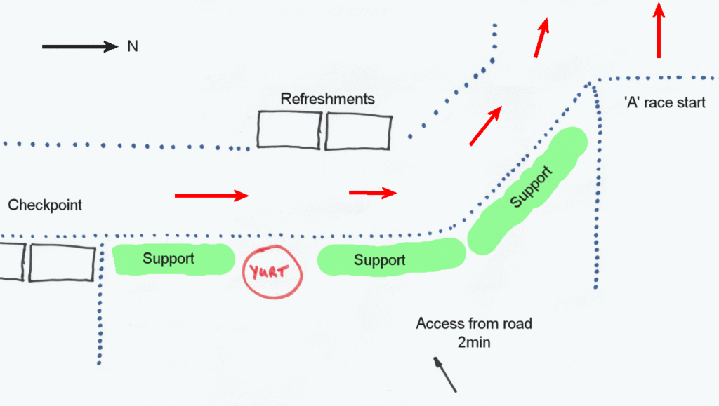
This will be much easier if it has been discussed beforehand. It’s not easy though, there will be 1,200 competitors that squeeze past in a 3 hr period, more than half of them will have people offering support. Add darkness into the mix and the fact supporters are not allowed onto the course and some thought is required. The support was fairly tightly packed along the fence. Take a look at what I have marked on the enclosed plan. To help my teams find me I had elected to bring along a multicoloured flashing led strip. I was the only one to have done that, everyone else had flashing bike lights and orange warning lights. There were also flags, banners, balloons, tables and even a BBQ. You can imagine what the competitors are faced with!


Most of the teams that stop for help spend at least 15min sorting themselves out. Then they are off up an icy piste. Every half hour they end up mixed in with 500 or so setting off in waves on the “A” race start; something which is probably worth avoiding. Once 6h30 is reached everything calms down significantly. I caught a lift back up to my car in one of the military transporters and set off home. Again no grief on the road at all. If you want to drive around to the finish in Verbier, you will have plenty of time. It’s a 2 hr drive and for most teams you will have at least 6 hrs in hand!


The Rhone Cycle path, Swiss section

Rhone Route by bike (Swiss bike routes, Route 1)

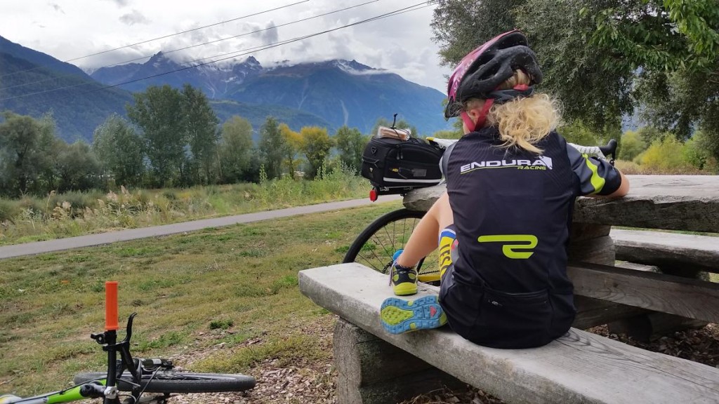
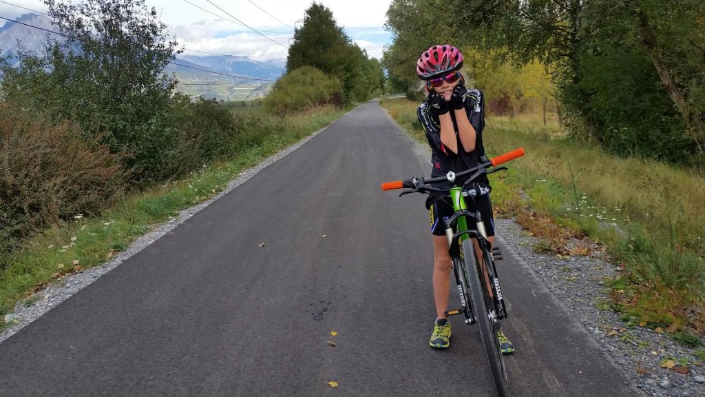
This is part of my long series of “things to do in the mountains that don’t necessarily involve mountains”. Sometimes the kids don’t react well to my “lets go for a walk up a mountain” routine on the weekends and I’m left wondering what else to challenge them with. My youngest is almost 10 and she is very keen on her bike. It can be a hard to find different routes to try out of season from our base in the Portes du Soleil. Her previous distance record was 40km around lake Annecy, when I suggested we try and beat that she was keen.

rhone_cycle_route_1

I had in mind that the Rhone valley (the Swiss bit) might provide an almost flat route that would suit the challenge. I’d also like to stay on cycle tracks. It helps us both stay sane. Whatever anyone says about how safe cycling is, mixing 9 year old’s and busy roads is not recommended.

I’m going to stop emphasising that we did this in Switzerland now. Just to say, that one day this cycle path will extend through France to the Mediterranean coast. At the moment it is not finished. More information on the French route is available here http://en.viarhona.com/the-route

Full details about the 350km that is finished and open in Switzerland is available here:

http://veloland.myswitzerland.com/en/routes/route-01.html

This is a small part of the amazing Swiss website “SwitzerlandMobility, the network for non-motorized traffic“, probably the best bike touring website in the world.

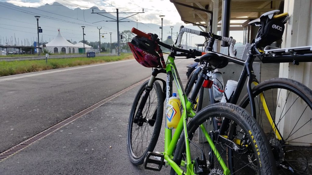
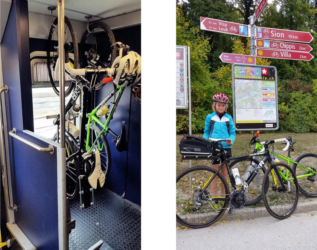
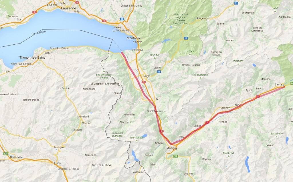
This day trip works for anyone based in the Portes du Soleil and Chamonix. Reaching the Rhone valley from these places is quick and easy. I live in the Portes du Soleil (St Jean d’Aulps) so my nearest connection with this trip is 1 hr away in Bouveret. We drove down there on a Saturday morning to catch the train up the Rhone. As you can imagine the Swiss trains run like clockwork, not only that they are pretty good at “Clock-face scheduling” too, so the train from Bouveret leaves at 10:01, 11:01 12:01 and so on throughout the day, Sunday’s included. Knowing this makes working out where the train will be a fairly easy guess. We bought our tickets from the platform machine (40CHF total for us for the 90km to Sierre), loading the bikes onto the train is easy, just make sure you go through the door with a bike marked on it! There are obvious places to rack or hang the bikes for the journey. 20 minutes later we arrived in St Maurice for the change onto the faster train to Sierre. The connecting train times match perfectly, so you have about 3 minutes to get off one train and get onto the next.


2015-10-03 11.15.40

We arrived in Sierre 1hr after setting off from Bouveret. Although I had downloaded the Swiss Mobile mapping app for my phone I didn’t fancy trying to navigate out of this fairly large town by phone so I popped into the Tourist Office. They pointed me in the direction of some very obvious signs. Once we’d found them navigation was easy!

rhone_cycle_route_6

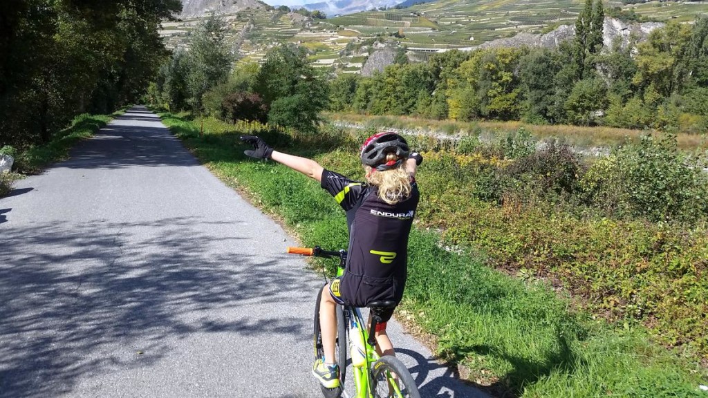
We travelled through lots of apple orchards and vineyards, with views of the terraces and small villages surrounding the Rhone Valley. A close look reveals ski areas like Crans-Montana, Nendaz and Verbier and twice that number of smaller resorts only the locals know the names of. We traversed the towns of Sion, Martigny and Monthey. We stopped at a café in Sion for some lunch, I guess there would have been something in Martigny too but we skirted the town centre. Otherwise there are a few picnic tables and some water stops along the route.

rhone_cycle_route_8

rhone_cycle_route_7

The really flat bit of this route starts from Brig, from there to Bouveret and Lac Leman is about 120km, throughout that distance the route descends imperceptibly at about 150m per 100km. We rolled along at an average speed of 15km/h. After 70km my daughter was flagging somewhat so we pulled up at the train station in Monthey and caught the train back to Bouveret, this saved us the last 20km and prevented the day turning into an epic. I suspect this route is fine for cyclists 90% of the year, the bottom of the valley is generally free from snow. The main hazard for cyclists can be the wind. It is very hard to predict here, if you have an idea which way it will be blowing you can use the train to take advantage of it! I have had a 70km/h wind on my back in the past. That is enough to double your speed for no added effort. Trying to cycle into a headwind like that may well turn out to be impossible though!

map

Image2

Buying off-plan in the Alps

Buying an off-plan apartment or chalet can have many benefits. When I started out in this job (15 years ago) I thought that buying into a development should cost less than buying something you could see. I was focusing on the risk and the waiting time.

I was wrong though. Buying a brand new property generally comes at a slight premium. Compare it to buying a new car. You can specify everything to be just how you want it from the outset, you might have to wait a few months for delivery but then you’ll be the first to use it.

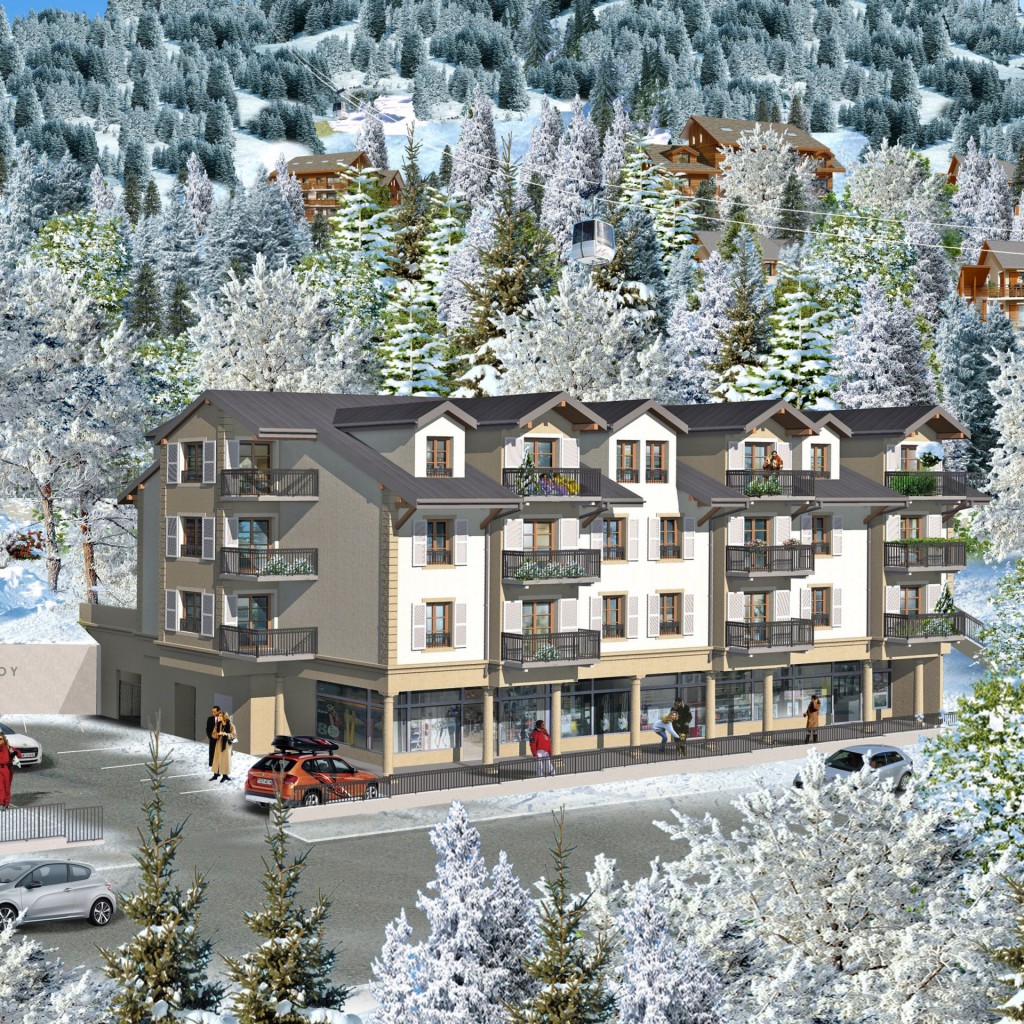
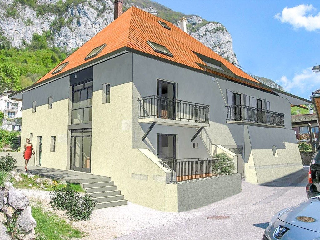
new build property in St Gervais
Appt. clos du Savoy in St Gervais, see link below for more info.

I’ve listed the advantages here:

  • Payment is in stages, staggered over the build.
  • There are lower notaries fees and stamp duty (2.5% vs about 8% on anything but off-plan properties)
  • The latest buildings are much cheaper to run thanks to the eco-legislation in place in France.
  • You can normally adjust the specifications to your taste.
  • There are often options to buy extra parking and garages.
  • The VEFA legislation in France makes this one of the safest property purchases you can make.

Against

  • There will be a wait of at least a year, sometimes 2.
  • You can’t judge the quality of the finished product. Always ask to see a development built by the same developer to reassure yourself.
Off plan apartment near Annecy
Appt. La Bastide on the side of Lac Annecy, more info on the link below

VEFA (Vente en l’état futur d’achèvement)

This is the contract that lays out what the development will provide, the specifications, dimensions, tolerances of the build, delivery dates, when you will pay, under what circumstances you can withdraw. It is very detailed (and will be in French), there is a clear explanation of the document here.

http://vosdroits.service-public.fr/particuliers/F2963.xhtml

I’ve written in the past on the more general subject of how to buy a property in the Alps.

http://blog.alpine-property.com/2014/03/31/how-to-buy-your-alpine-property/

Getting a mortgage for an off-plan property is fine too. In fact in provides yet another safeguard. The mortgage company will want to see that the developer is doing everything by the book. They’ll ask the developer to show that every guarantee and insurance is provided for. The most important is the GFA (Garantie Financière d’Achevement). this is an insurance policy that guarantees the project is completed if the developer finds themselves in financial difficulty and unable to complete the work. Some of the smaller developers might try and avoid some of these. Especially if they are not a legal requirement. So if the mortgage company knocks back an application because they are not happy with the development then you should ask questions as to why.

Finally, assume that the delivery day will be missed. Probably because of “weather” issues. They’ll be a clause that protects the developer in the VEFA that allows for inclement weather. So don’t make any financial commitments based on the delivery date! Like an assumption that you’ll have a rental stream or a holiday booked to stay in the apartment. If you do get you “keys in hand” by the date you expect then it’s time for a celebration!

More details about the Clos du Savoy apartment development in St Gervais here.

https://www.alpine-property.com/saint-gervais-les-bains/appt-clos-du-savoy-group-4/2662

More details about the properties we have for sale by Lac Annecy (including the Bastide development) here:

https://www.alpine-property.com/location/lac-annecy

Mont-Blanc shrinks to 4,808.73m

Today’s big news. The height of Mont Blanc is 129 cm lower than in 2013. Read on for the full story:

Mont Blanc was First climbed on August 8 1786. In 1863, the official height was measured as 4807 meters.  At some point after then it became 4809m. That’s the height given by Wikipedia. Now it is recognised as 4810m. The IGN (Institut Géographique National) have it at this height on their maps. You can take a look here.

3595496275_ab709258de_o

Every two years since since 2001 the height of Mont Blanc has been measured to keep a track of the amount of snow on the summit. The result so far.

2001 : 4 810,40 m
2003 : 4 808,45 m
2005 : 4 808,75 m
2007 : 4 810,90 m
2009 : 4 810,45 m
2011 : 4 810,44 m
2013 : 4 810,02 m
2015 : 4 808,73 m

3596293006_7b49d28584_b

A full report on the current measurement can be found on the Dauphine Libere website. http://www.ledauphine.com/haute-savoie/2015/09/10/l-altitude-du-mont-blanc-mesuree-a-4-808-73-metres. In fact the height of the solid bit (rock not snow) is only 4 792m, the rest is the snow cover, up to 18m of it! The summit moves around depending on the prevailing wind and amount of precipitation.  In 2009 the summit was 34 m further East than now.

September is the time of year when there is least snow on the mountain. This does not tally with the height measured in May (greatest snow depth) of this year at 4807,88m. The discrepancy is probably down to the winds.

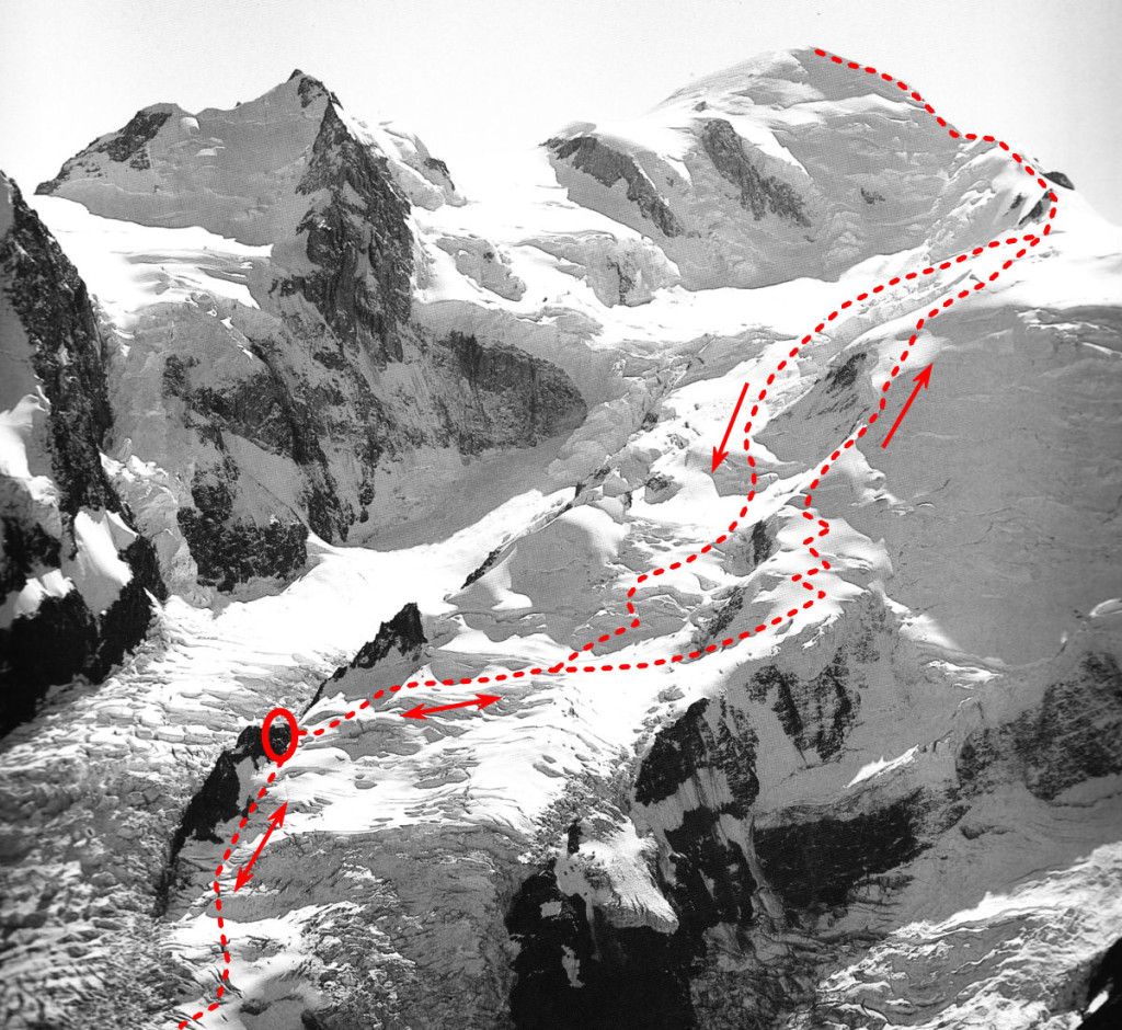
3596296618_e6d1b6d044_b (1)

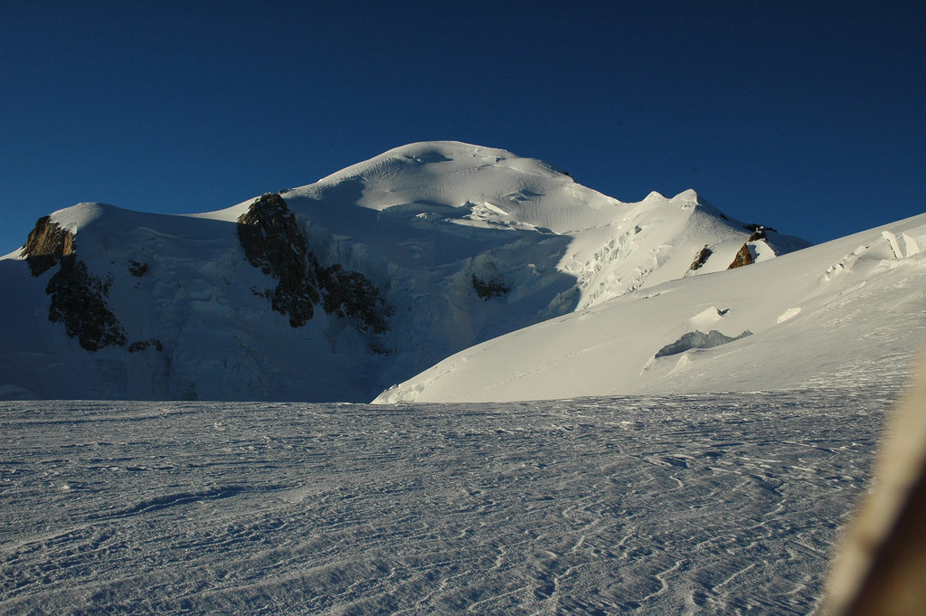
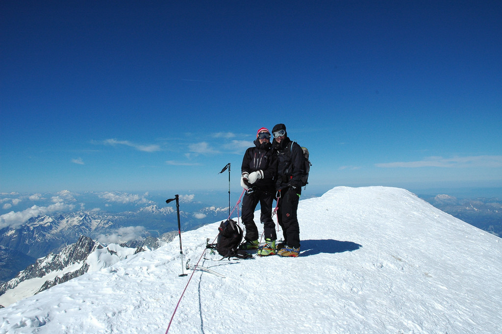
These pictures where all taken on a ski trip to the summit in June 2009. the top one shows the route. The summer walking route takes a different line.


Property Prices across the Haute Savoie

I am often asked about current and historical property pricing data in the Haute Savoie. It is a fair question. In the UK very accurate and open data is available. The answer for France is not quite so straightforward. The Notaires collect all the data, it is publicly available on a broad scale. More accurate information is available on a pay basis, it’s not easy to get though. the free stuff has to be read with caution!

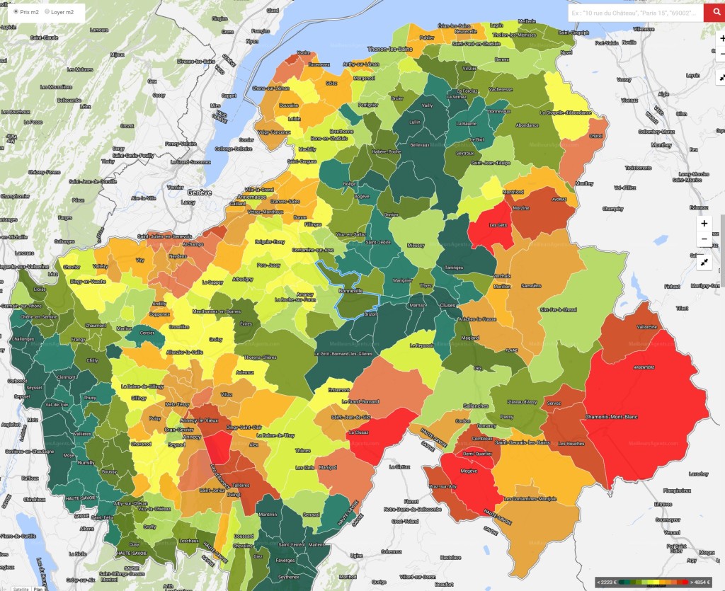
Below is a coloured map of the Haute Savoie, the redder the colour the more expensive the commune. It makes sense, Chamonix, Megeve, La Clusaz, Annecy  and Les Gets come out as the most expensive. Followed by Morzine, Combloux and the rest of the Chamonix valley. Manigod, Le Grand Bornand and  Chatel follow along after that. Samoens should be in that last group too but a quirk of stats has knocked it down a peg.

prix immo

You can click on the image and make it huge or go to the website I took it from.

http://www.meilleursagents.com/prix-immobilier/bonneville-74130/

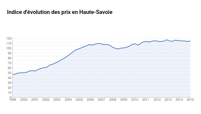
Take the actual value/m2 with a pinch of salt, this always reads too low in our experience. The price trend graph looks about right though. But read the title, it is for the whole of the Haute Savoie and not for each commune as it seems to suggest on the website! So it shows a massive price increase between 1999 and 2007, a small drop for the following 2 years and then stability. We think this will start to climb again at the end of 2015 and into 2016 driven by the weakened Euro compared to Sterling.

property price evolution

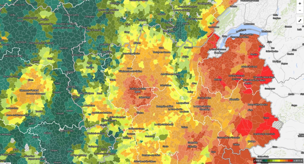
If you zoom out a bit on the commune map you start to see what sort of bubble there is in the ski areas. We already know that you only have to drive 15 minutes from the resort to see the prices half, well looking at this and you’ll see you have to drive an hour from the resort and the prices drop to 25%.

prix immo 2

Chalet d’alpage, a little history.

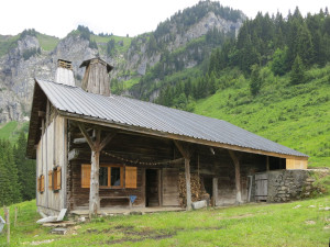
The Chalet d’alpage are the mountain chalets that you come across far from the tarmac road, they almost (but not always) have 4×4 access and in winter the access is normally on foot, snowshoe or ski. These are the ancient summer residence of the farming communities that used to be the life of the Alpine valleys. In winter the cattle would be stabled in the valleys and in summer the cattle and the farmers would move up to the high pastures. The cattle would be milked in situ and cheese made on the spot too. This still goes on but for the whole process to be done in the old way is rare. The only place I can think of in the Morzine valley is the Ferme Auberge de Freterolles. I’ve just Googled them and see they have a page on TripAdvisor! Another is LaPisa just over the border in Switzerland. They have a website too. If you pass in the summer you will see them heating their milk over a wood fire.

Farming in the Alpine valleys fell apart after the First World War, the Alpage were abandoned by most families as they lost their men to the fight. The requirements of industry pulled the young out of the valleys to the cities too. During the period between the Wars the tourist industry in the Alps started up. The Second World War was less devastating to the population but then skiing arrived. This industry was much more lucrative and was the final nail in the coffin for Transhumance .

Nowadays these chalets are generally retained by the original families and used as weekend retreats. They require a lot of upkeep though and they need owners that treat them as a labour of love. I have often heard it said that corrugated iron is the saviour of the Chalet d’alpage. Without that cheap lightweight covering most of the properties will have rotted away. Now at least roofs are easy to repair and a property can be “kept on ice” until someone in the family comes along to look after it.

Rarely do these properties come for sale. When they do they are very sought after. Often they are more expensive than you might imagine! We don’t have a category on our website for “Chalet d’alpage” because we never have that many to sell. I’ve had a look through and have found 4 at one time. This might be a record!

Chalet Paradis
For Sale: 273 000 €
Le Petit Bornand Les Glières
https://www.alpine-property.com/le-petit-bornand-les-glieres/chalet-paradis/2608

fermelorchat1_2

Chalet Sous Les Crètes (next to the pistes!)
292 000 € Habère Poche
https://www.alpine-property.com/habere-poche/chalet-sous-les-cretes/2494

souslescretes_4

Chalet Berger (comes with vehicle for all year round access)
495 000 € Mégevette
https://www.alpine-property.com/megevette/chalet-berger/2618

chaletberger_5

Chalet d’Alpage Bonnavaz
225 000 € Les Gets
https://www.alpine-property.com/les-gets/chalet-dalpage-bonnavaz/2343

alpagebonnavaz_2

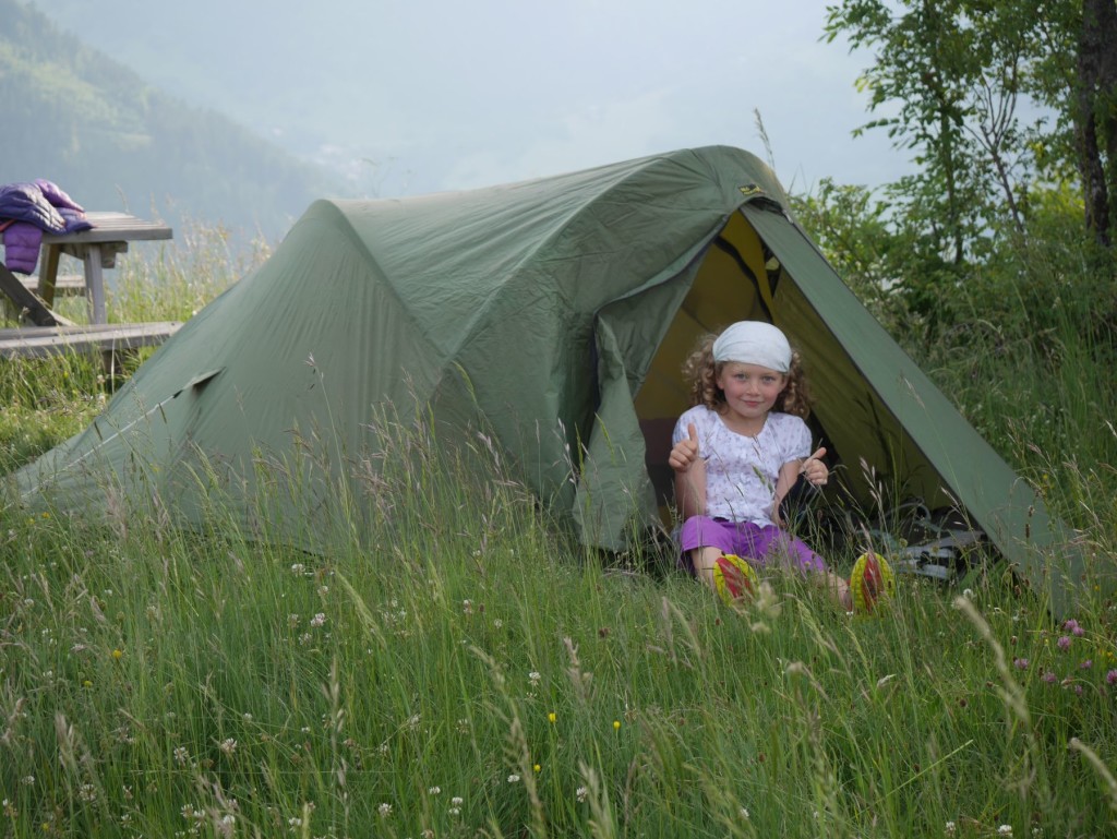
Campsites in the Portes du Soleil

The campsites around the Portes du Soleil are “fine”.  However they cannot be compared to the really big campsites available around France. No swimming pools in the campsites around here! I’ve made a list as a resource.

Camping in the Haute Savoie

The best campsite in the Portes du Soleil is probably in Chatel.

Camping L’Oustalet 4*
http://www.oustalet.com/

For the Morzine area there are two.  I know some people prefer the camping in Essert Romand, though Le Pré in Montriond offers better access to the river trail for bikes and dog walking.

Essert Romand
Camping Les Marmottes
http://www.campinglesmarmottes.com/

Montriond
Camping Le Pré 2*
http://www.savoie-mont-blanc.com/en/offre/fiche/camping-le-pre/74356

The best views are from this one in Les Gets, though it is quite a hike up the hill. No website that I can find.

Camping d’été La Grange Au Frêne
http://www.lesgets.com/les-gets/hebergement/campings.html

Camping in St Jean d’Aulps is just by the main road . It is walking distance from the shops though and it’s on the river trail and very near the stables for horse riding.

Camping Le Solerey
http://www.valleedaulps.com/camping-le-solerey-1.html

For short stays, there is the municipal camping at La Baume. It’s bound to be the cheapest option too.
Camping Municipal De La Baume, call 04 50 72 10 06, open July and August

camping 2

You don’t have to go far for some bigger and better options though.

Samoens
Camping Le Giffre 3*
http://www.camping-samoens.com/

Or there are a number down by Lac Léman (Lake Geneva). These two are by the beach at Excenevex.

Camping La Pinede 3*
http://www.camping-lac-leman.info/

Camping La Pourvoirie des Ellande 2*
http://www.camping-lac-leman.com/

Snowmageddon in the Haute Savoie, 2015

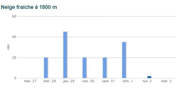
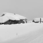
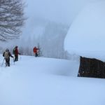
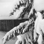
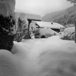
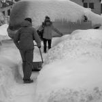
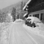
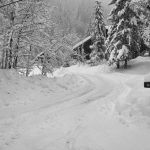
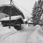
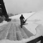
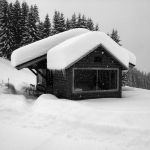
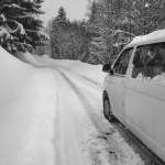
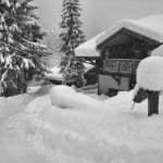
We had a great period of snow over the last days of January 2015. In total between 1.3 and 1.6m of snow fell during a 5 day period. I documented the scenes in photos each day.  The first image is taken from the Avalanche Forecasting website, you can believe these figures, they aren’t trying to sell ski holidays!
snowmageddon10a


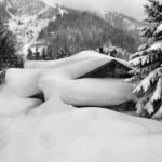
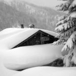
The photos follow here.