After the whirlwind of the Covid years, the property market across the ski areas of the Haute Savoie has settled down. The initial post-pandemic excitement has faded, and we have entered a more cautious phase. As usual there are many elements that affect the market inflation, interest rates, the weather and general global uncertainty.
Uncertainty is down
Of course, we’re all living with the uncertainty caused by global politics. Trump continues to do his best to destabilise things, but oddly enough, that sometimes works in favour of property. When markets wobble, money is often moved out of stocks and into bricks and mortar. That’s exactly what we saw recently in Chamonix, where high-value sales spiked – something we’ve seen more than once over the years. In fact overall interest and enquiries were up significantly in April for both francophone and anglophone buyers.
As for the war in Ukraine, are we approaching the end? It’s impossible to say, but the sense is that broader geopolitical concerns like this are weighing less heavily on buyers than they were a year ago. Another positive point is relative stability in the French parliament, and I say relative. But at least it is functioning at the moment.
Interest rates are coming down too
Interest rates are coming down and are forecast to drop further, this makes mortgages cheaper, that is always a strong driver for interest in property. Inflation is easing, so people are less worried about the affordability in the future. That helps too.
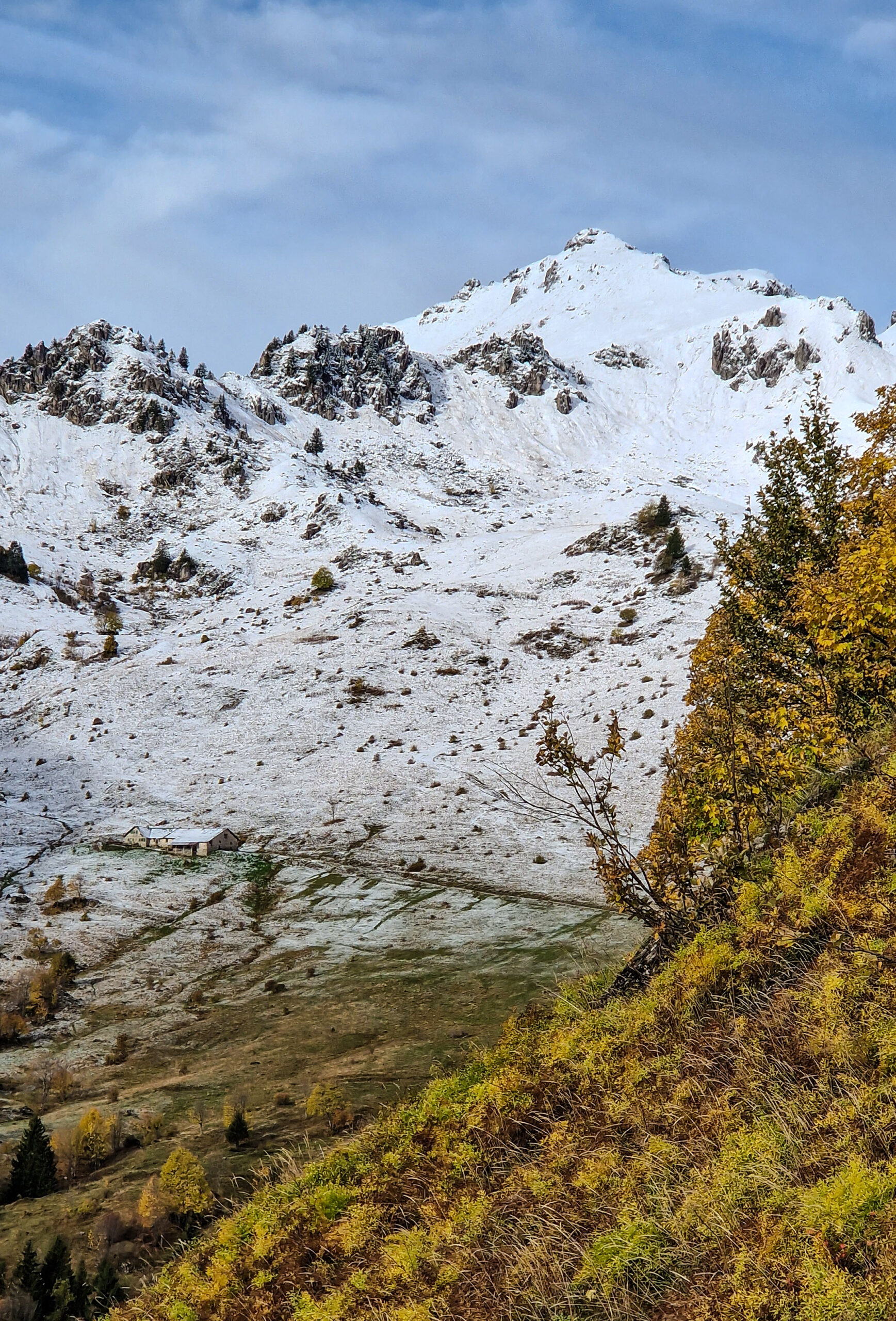
Good ski season
We had a good winter in terms of snow, conditions held up well throughout the season. That said, many businesses closed a week or two earlier than usual. With Easter falling late, many of the usual late-season bookings shifted to the south coast instead of the Alps. In the end it was probably an average season for the ski businesses, it felt busier during January but this was probably just the effect of squeezing the usual numbers into a shorter season.
Full time residents VS second homes
The difficulties around living in these ski towns for the full time residents is increasing, so rising house prices and rising rental prices is still rightfully a hot topic. Chamonix has taken a strong stance, with UK headlines suggesting a “ban on second homes.” That’s an exaggeration, there’s no ban, but new planning rules do prioritise the construction of housing for full-time residents. It’s a significant shift, and one to watch.
DPE’s
Then there’s the DPE (Diagnostic de Performance Énergétique)—France’s energy rating system. The state has legislated to tighten the rules, however the practicalities of bringing apartment blocks up to standard have meant that there seems to be some hesitation at government level . Whatever happens, it’s something buyers increasingly need to consider. What’s the current rating? Can it be improved? The answers to those questions will affect both valuations and renovation plans going forward.
Price changes
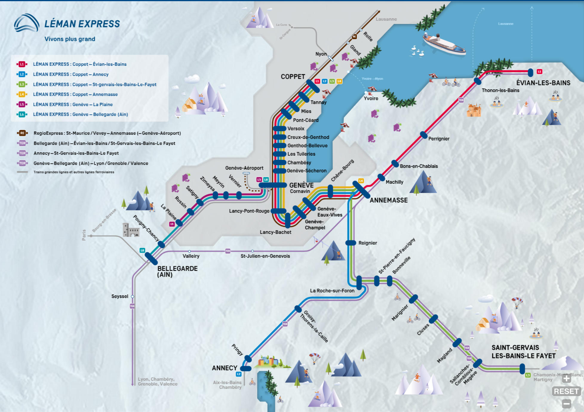
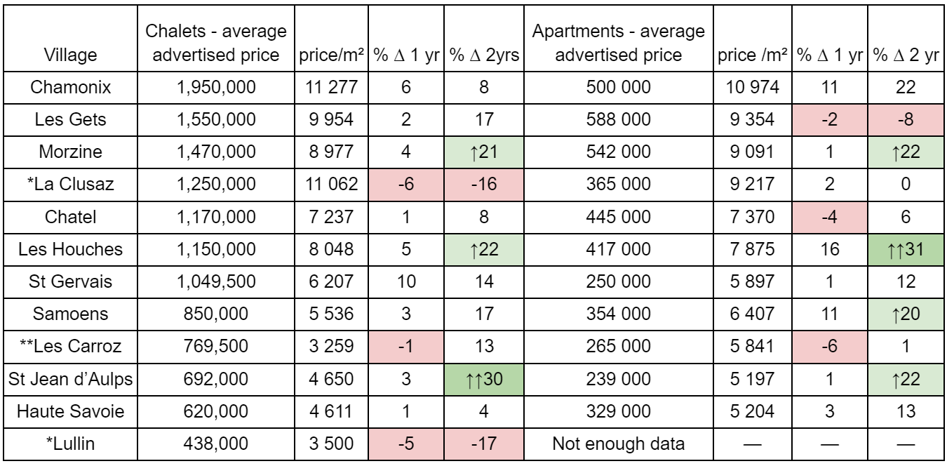
We’ve now had reliable, data-driven insights into property price trends for several years – a far cry from the more anecdotal market view we relied on in the past. I’ve broken down the data by key areas to highlight notable trends, opportunities, and shifts in buyer demand.
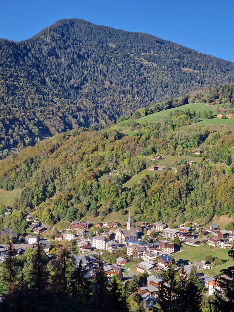
Vallée Verte & Alpes du Léman – A Region on the Rise
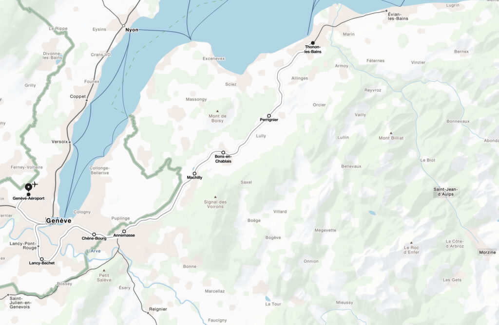
One of the most frequent questions we are asked is, where is “up and coming”? A strong candidate is the area between Geneva and Lac Léman. This region benefits from the economic pull of Geneva and access to Swiss salaries, while still offering excellent value for property.
Take Lullin, for example — a picturesque village with all the amenities like an excellent boulangerie, butcher, convenience store, pharmacy, primary school and even a garden centre . Property prices here have risen steadily since 2020, but only by 10%, so still remain very affordable, with average prices between 2,324 € and 2,948 € /m² – less than half the prices seen in the ski resorts.
The main reason? It’s just over an hour from Geneva. So a little too far for a commute. But just down the road in Habère-Poche – which is around 50 minutes from Geneva – prices are appreciably higher at 2,775 € to 3,519 € /m², a 20% premium, and up around 25% since 2020. And that is down to that 10min saved on the commute.
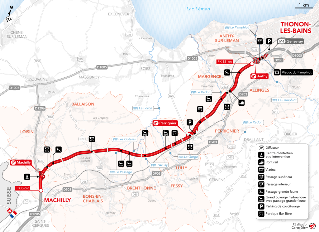
With concrete plans in place for the new A412 motorway linking Thonon to Annemasse, commute times could drop further in villages like this, making this region even more attractive to buyers. The difference a 10-minute commute makes is already evident – and this infrastructure improvement could accelerate that trend.
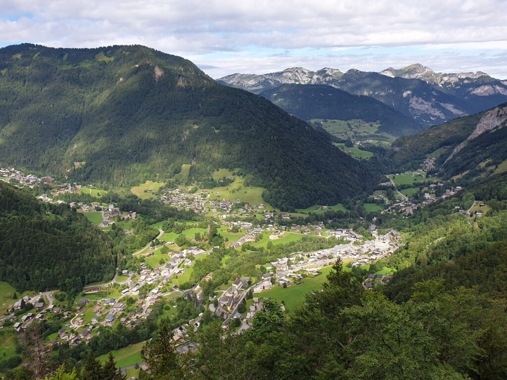
Portes du Soleil
In Morzine, chalet prices rose strongly up to 2023, then plateaued. Since then, however, they’ve risen more slowly, another 10%, reaffirming their long-term appeal. Expect values of 7 341 – 9 325 € / m² . Apartments have shown steady progress too – with consistent 10% annual growth since 2023. Prices are 6 638 – 8 455 € / m².
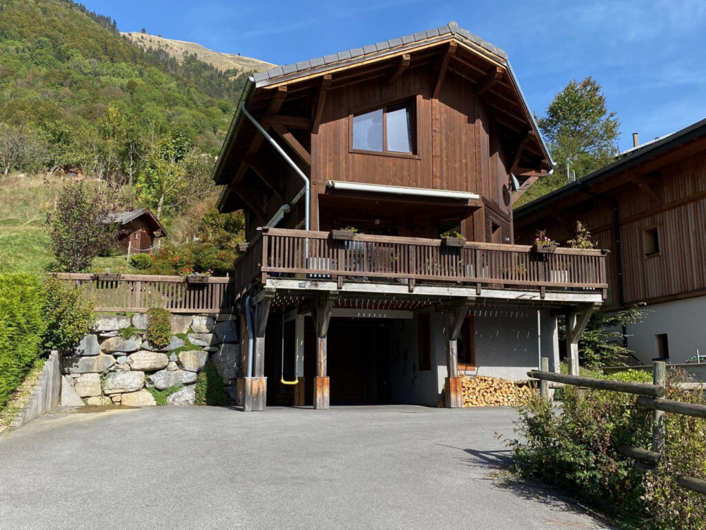
This chalet in Montriond is a great example of what’s currently available.
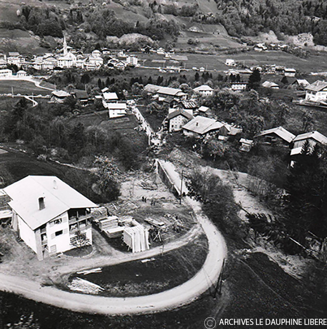
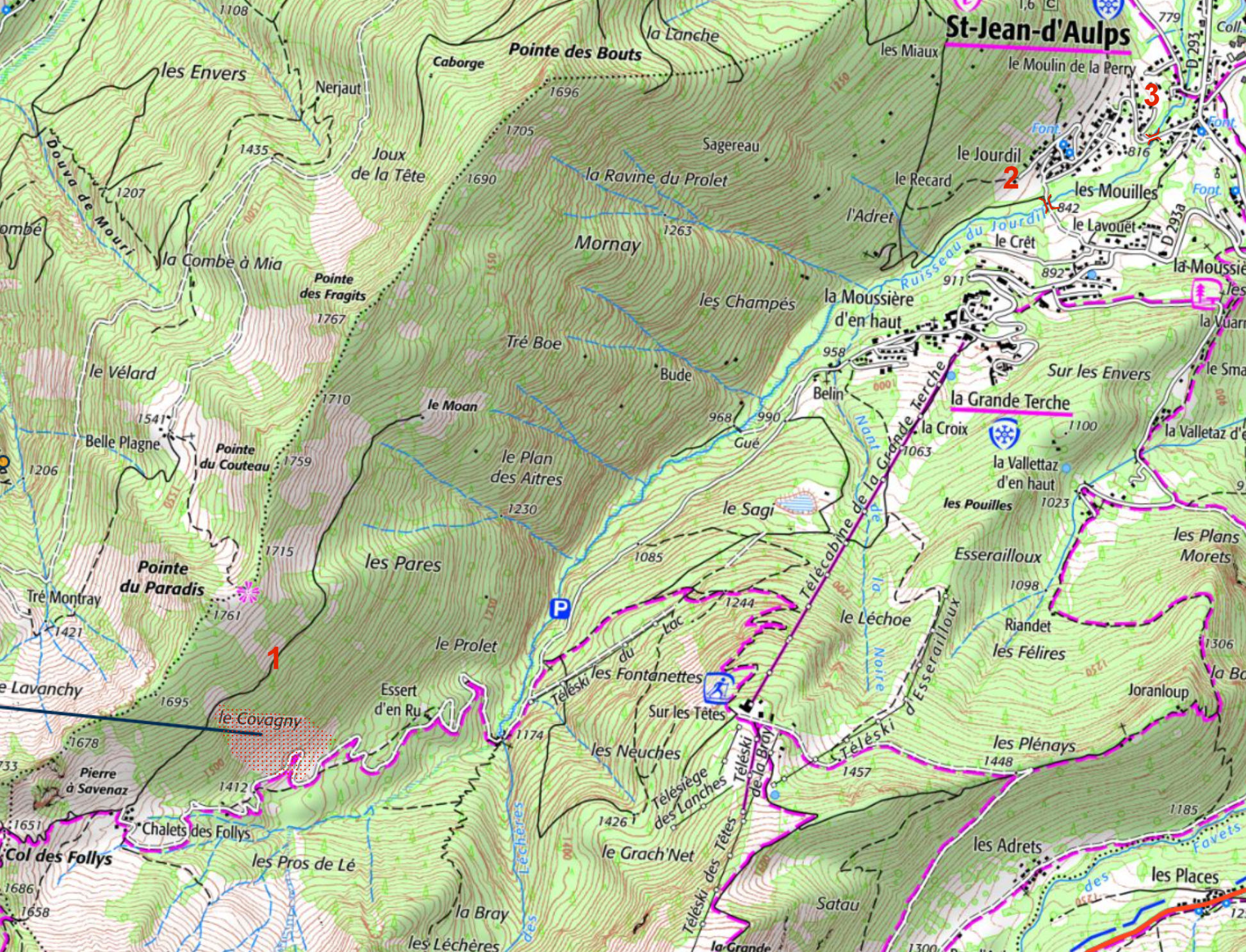
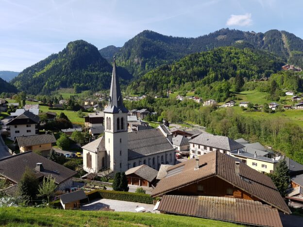
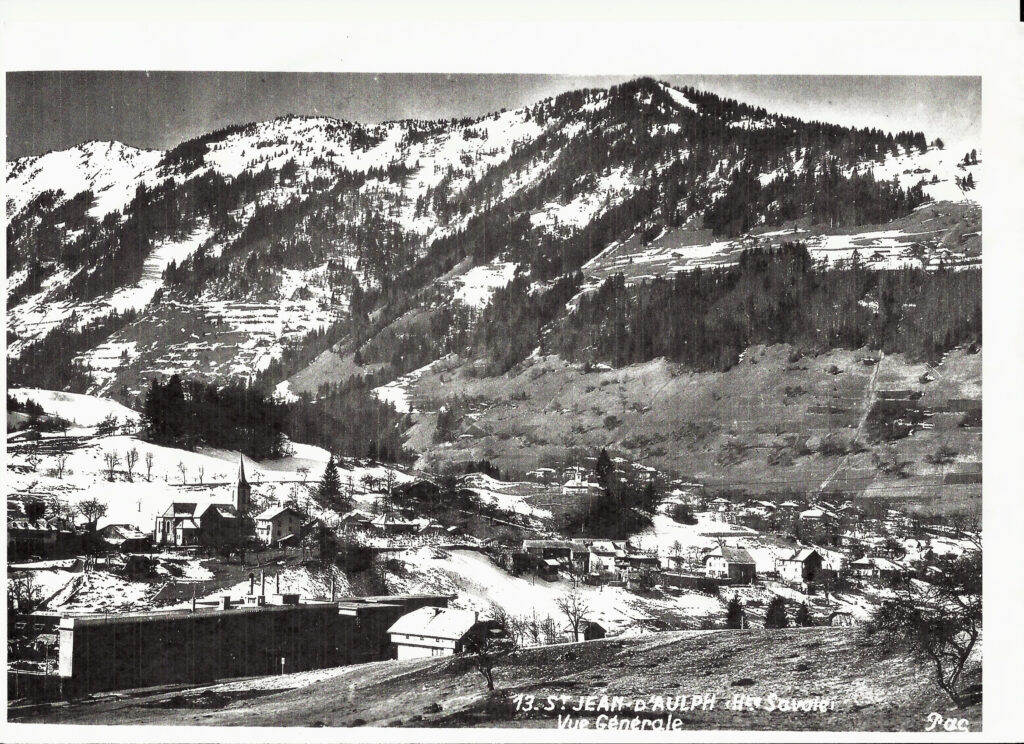
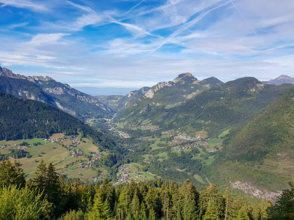
Further down the valley St Jean d’Aulps, Le Biot, and Seytroux experienced more pronounced price increases leading up to 2023, particularly for chalets. Current prices are 4 281 – 5 438 € / m². These have since stabilised, but apartment prices continue to climb, especially for smaller, affordable properties like the ones found in La Grande Terche, which are selling briskly. 4 200 – 4 800 € / m².
In Châtel, the high-end chalet market has seen spectacular growth, with prices doubling since 2020 – most of that surge occurring before 2022. Prices have now stabilised. In contrast, mid-sized apartments (T4) have been far less volatile, rising by a modest 10% since 2020. Current prices range from 4,705 € to 5,998 € /m².
Grand Massif
In Samoëns, T4 apartments have seen a 20% increase in value, with prices ranging from 5,645 € to 7,183 € /m², and continue to trend upwards. Mid-range chalets in Samoëns have seen a 15% increase since 2020, but after 2023 a 10% fall. They are currently at 5 580 – 7 091 € / m²
In Les Carroz, chalet prices have grown by 35% since 2020 and are still climbing, with average prices now between 4,708 € and 6,214 € /m². T4 apartments here have seen a 25% increase, though growth is now slowing somewhat. Prices of apartments currently sit between 4,521 € and 5,756 € /m².
Chamonix
Of course Chamonix remains one of the most desirable areas in the Alps. A T4 apartment in the town centre has increased by 40% since 2020 and is now stable, with prices between 7,327 € and 9,337 € /m².
Mid-sized chalets average 10,009 € to 12,743 € /m², having risen by 50% in recent years. Prices have softened slightly since 2023 but remain stable overall. In Chamonix’s most prestigious neighbourhoods, there’s effectively no price ceiling — €12,000/m² and beyond is common for the highest level of luxury.
Whether you’re looking to buy, sell, or simply understand the current market, we’re here to help. Get in touch with us at Alpine Property for tailored advice.